as my departure date for korea draws inevitably closer, something i will miss, very definitely miss, will be the road riding here in the trout lake valley. it's not often that i get out on the road bike when i have the option to head to the mountains but since i'm without a mountain bike of my own it's what i have to work with.
i waited until yesterday evening around 6.30, when the air at home at 1200' was a nice 80 degrees. the ride into trout lake takes about 15 easy minutes. you wind up highway 141 and reach
trout lake school, where i spent 2nd grade through senior year. about 160 kids still go here, K-12.
just past monte pearson's farm there is a fork in the road. to the left is the grocery store, the post office, the
mt. adams ranger station/gifford pinchot national forest headquarters and, eventually, the 88 Road that can take you out to the gorgeous
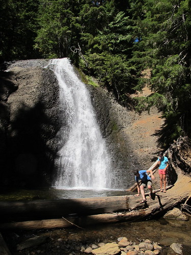
lewis river.
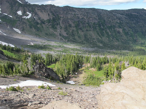
to the right is the south climb road, various snow parks and the 23 Road. my original plan was to take the 88 as far out as my desperately knacked legs wanted to and then, bravely, turn around and get back to town before dark. but, knowing that my brain is substantially less intelligent than my legs and lungs and wouldn't know a good stopping point from a hole in the wall, i decided to drift right and head for the 23 Road, directly north, staring up at the 12,226 foot summit of Mt Adams. williams mine, the first major summit of the 23 Road, would give me a definite stopping point and a place to rest my lung-twang before giving it the beans back down into the valley.
uphill, turn, uphill turn, uphill, uphill, 100' reprieve, uphill turn, etc., etc., etc. it didn't take long to begin hitting inversion layers and the full length zipper on my discover bicycles jersey was going up and down faster than wonka's great glass elevator. patches of deep, dark forest road were punctuated by little hot spots where sunlight was able to penetrate the canopy and it was here that i would end up regretting to wear even my Risky Business sunglasses: gnats only like to end up in cyclists faces, crammed into the corners of your eyes.
about 45 wheezing minutes later i was sitting at 4000 feet hacking up post-wisdom-tooth-removal-blood-clot and wishing i had not tried to fit in with the rest of the sophomores at evergreen by smoking that one cigarette about 5 years ago. the air was noticeably thinner and cooler here and i was urged by the arguably more sinister side of mt adams, the landslide/sulfur mine side, to get down the twisty 23 before the earth decided to rotate us any farther away from the sun.
i dipped into my pockets for a sweaty pack of little chocolate donuts that i had forgotten to pack and realized that i could probably make it to the country store in town before closing time.
so down i turned. on the way up i had come down what was then in my mind a pretty quick decent into a valley before climbing back out of it. i was taken around a hairpin left and into a long straight decent. as it was getting dark this decent troubled me: my leg-gah was much more apparent now that i had just stopped and started and a climb out sounded, well, really miserable. in fact each little reprieve i had on the way up was seeming like yet another climb out. but as soon as i turned down, all these concerns evaporated in a whiff of carbon. my TCR Alliance made quick work of the twists so was able to save my legs for the climbs that lay ahead. about two minutes later i came to the downhill hairpin left, now an uphill hairpin right. this signaled the end of the section i was concerned about - i hadn't even noticed it. so on and on the decent went: each turn dipping and leading me past the mileposts telling me i was getting indeed close back into the valley. but i didn't need those. my jersey that was zipped to my neck at the top was now plunging to my navel.
i saluted the "Leaving Gifford Pinchot National Forest" sign, knowing it very well could be the last time i would see this particular one for quite some time. to my right the trees opened up and a valley spread before me. the sun, just tucking itself behind the ridge, lit the area in an amber only these skies can produce. i smiled to myself, i laughed out loud and told the trout lake valley i loved her.
so from williams mine, 10 or 12 or 53 miles later and with more bugs in my grille than a long-haul trucker i rolled up to the store and grabbed only the essentials for the quick ride home south on the 141: hostess mini donuts, fig bars and a pound of spaghetti. less than 10 minutes home, all downhill. hands off the bars eating donuts and fig newtons.
next i'm going to head out the 88 Road to the lewis river.
View Larger Map-e
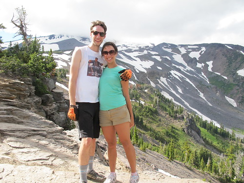
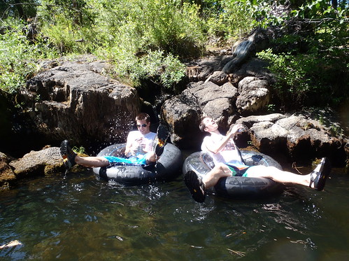
pics n' things!